

Explore our Services
Explore our range of services designed to help you move forward with confidence, wherever you're headed next!

Let us know how we can help!
-
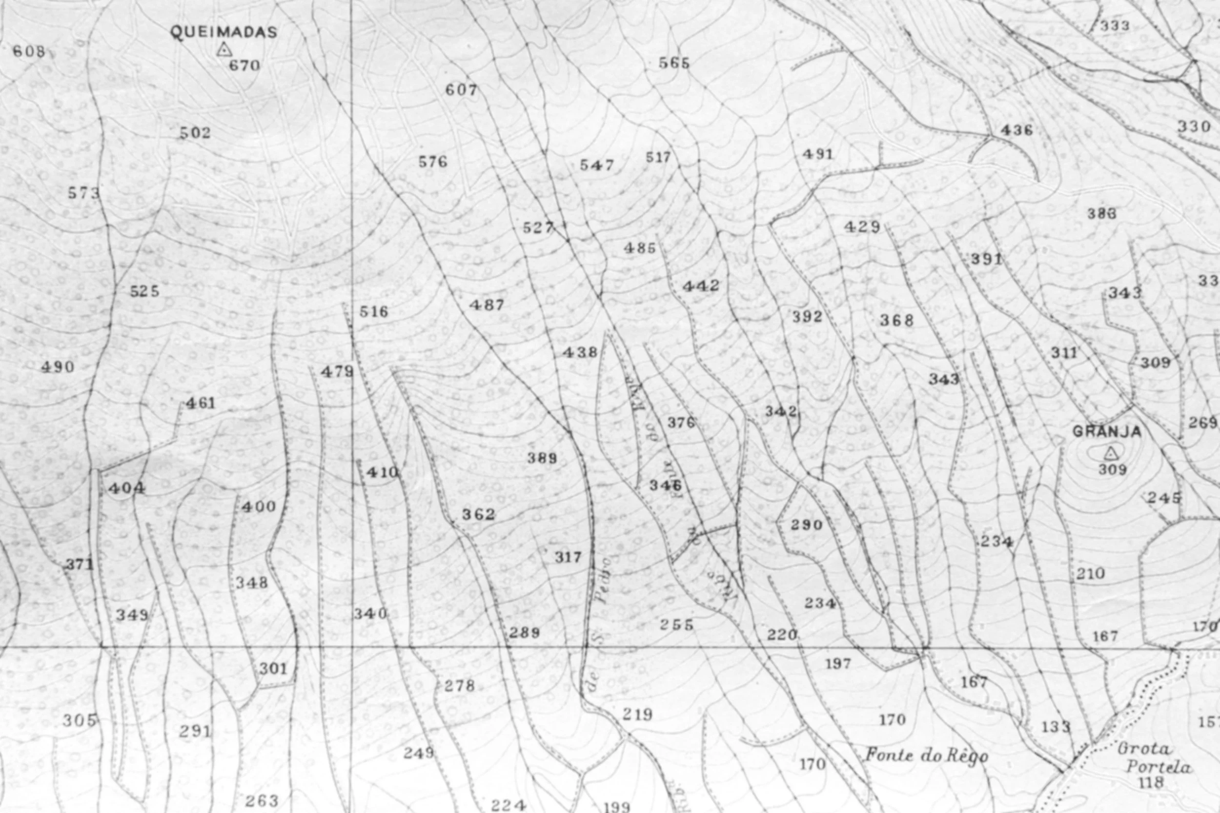
We provide professional land surveying services for both residential and commercial clients across East Texas. Whether you are a homeowner preparing to build a fence, a contractor starting a new project, or a developer planning a large site, we deliver accurate, dependable surveys tailored to the specific needs of your property and project. From boundary and topographic surveys to construction staking and ALTA surveys, our work is built on precision, reliability, and a commitment to doing the job right the first time.
-
We work directly from the title commitment and required Table A items to show all buildings, improvements, access, easements, utilities, rights-of-way, and any matters that could affect ownership or development. Our ALTA surveys are thorough, clearly presented, and delivered on schedule to help keep your transaction moving without delays.
-
We locate existing monuments, set missing corners when necessary, and clearly mark the lines on the ground so there is no confusion about where your property begins and ends. Every boundary survey is performed in accordance with Texas surveying standards and backed by defensible research you can trust!
-
We work directly from approved plans to ensure every point is placed correctly and elevations are set to match design grades.
From residential builds to large commercial sites, our construction staking provides the control and confidence needed to keep your project on track from start to finish.
-
We help landowners and developers turn raw property into buildable lots through professional subdivision design and plat preparation. From initial layout to final recorded plat, we handle the surveying required to move your project smoothly through the approval process.
-
Our drone mapping services provide fast, high-resolution aerial data for properties of any size. Using photogrammetry and survey control targets on the ground, we produce accurate orthomosaic images, contour maps, and surface models that support design, planning, and progress tracking.
Drone surveys are especially effective for large tracts, construction sites, stockpiles, and areas that are difficult to access on foot. The aerial perspective allows us to capture detailed site information efficiently while maintaining the accuracy required for surveying applications.
-
We can plan and map optimal paths for roads, highways, pipelines, utilities, and other linear infrastructure projects. We analyze terrain, identify obstacles, evaluate environmental factors and deliver accurate alignments that support safe, efficient, and cost-effective construction.